[NOTE: This piece was ported over from a much-older website, and some of the formatting and photo sizes aren’t presented as originally intended. As soon as I hire a quality control staff, these errors will be corrected.]
Okay, all informed and/or refreshed on Marysville’s rather snake-bit history after reading Part One? Splendid. On we go.
Up until 1956, if you were coming into Marysville from Sacramento or other parts south, you crossed the Yuba River and entered town via the D Street Bridge. D Street was essentially Marysville’s “Main Street.” E Street and its associated bridge, which brings in squirrel-crushingly copious amounts of traffic nowadays due to it being part of the I-70 corridor, was back then still a secondary street, populated mostly by warehouses and light industrial buildings (and, after 1927, the Marysville Hotel and the State Theater.)
D Street once was where all the action was, and like many small-town Main Streets, it has seen better days. Once the new E Street freeway bridge was opened (the D Street Bridge was fatally weakened in the 1955 Christmas floods and dismantled), D Street pretty much shriveled on the vine. Oh, there are still signs scattered around boasting about “Historic Downtown Marysville” and there are a tiny handful of preserved buildings, but unless you want a boutique gift or discount office furniture or to be unsettled by the eerily mellow hippies that run the used bookstore (excuse me, “literary arts center”), “Historic Downtown Marysville” doesn’t have much to offer the average person anymore.

One of Marysville’s most famous bits of history is the Bok Kai Temple, built by the local Chinese community in 1880 and the only one of its kind in the United States. It’s located at the foot of D Street, but faces away from the street toward the river – or rather, it was built facing the river, now it faces a blunt levee wall.
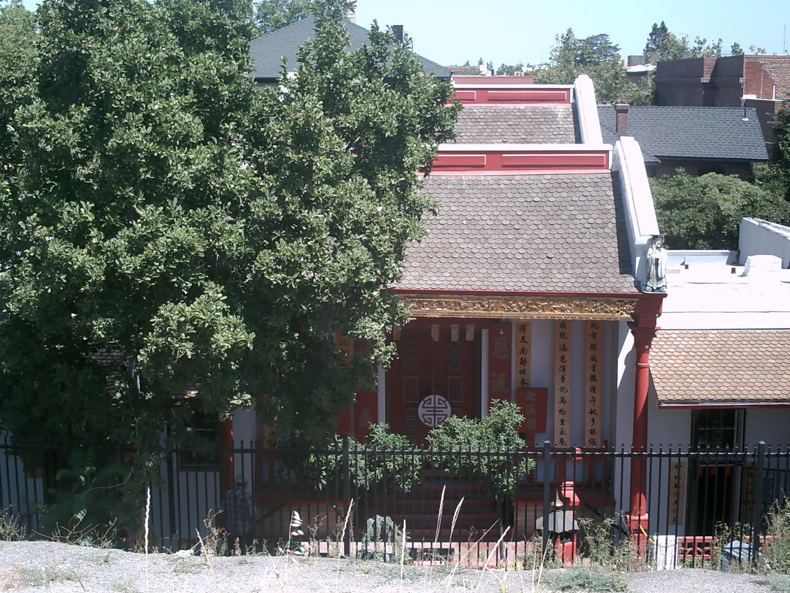
The temple itself seen from the levee, recently re-painted and spruced up, is behind a locked gate to keep Marysville’s less-upstanding citizens from urinating in it, but to it’s right (or left, I guess, as it was built facing the “wrong” way) is a rather picturesque pavilion and small park open to the public.

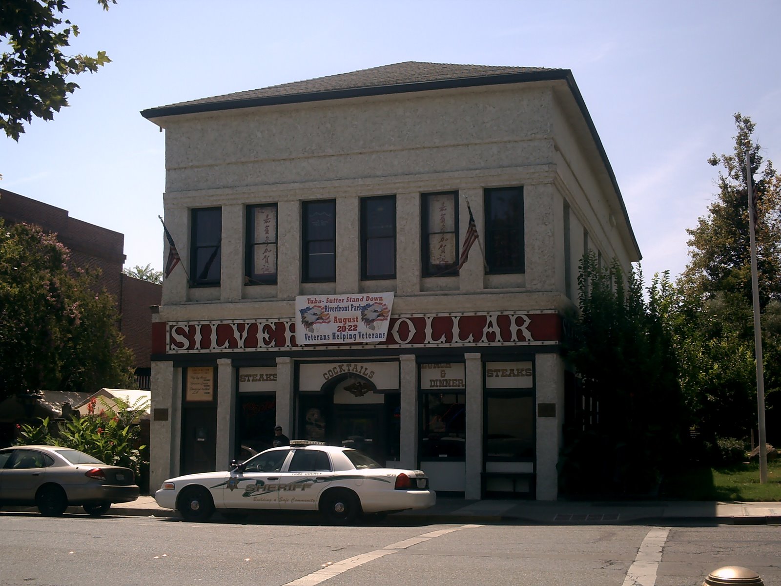
The M&M Trading Company building (“The Building That Melts In Your Mouth, Not In Your Hands”), was on the east side of the D Street Bridge, once the main entry into Marysville. The M&M building itself dates from the 1800s, and has been put to a myriad of uses.
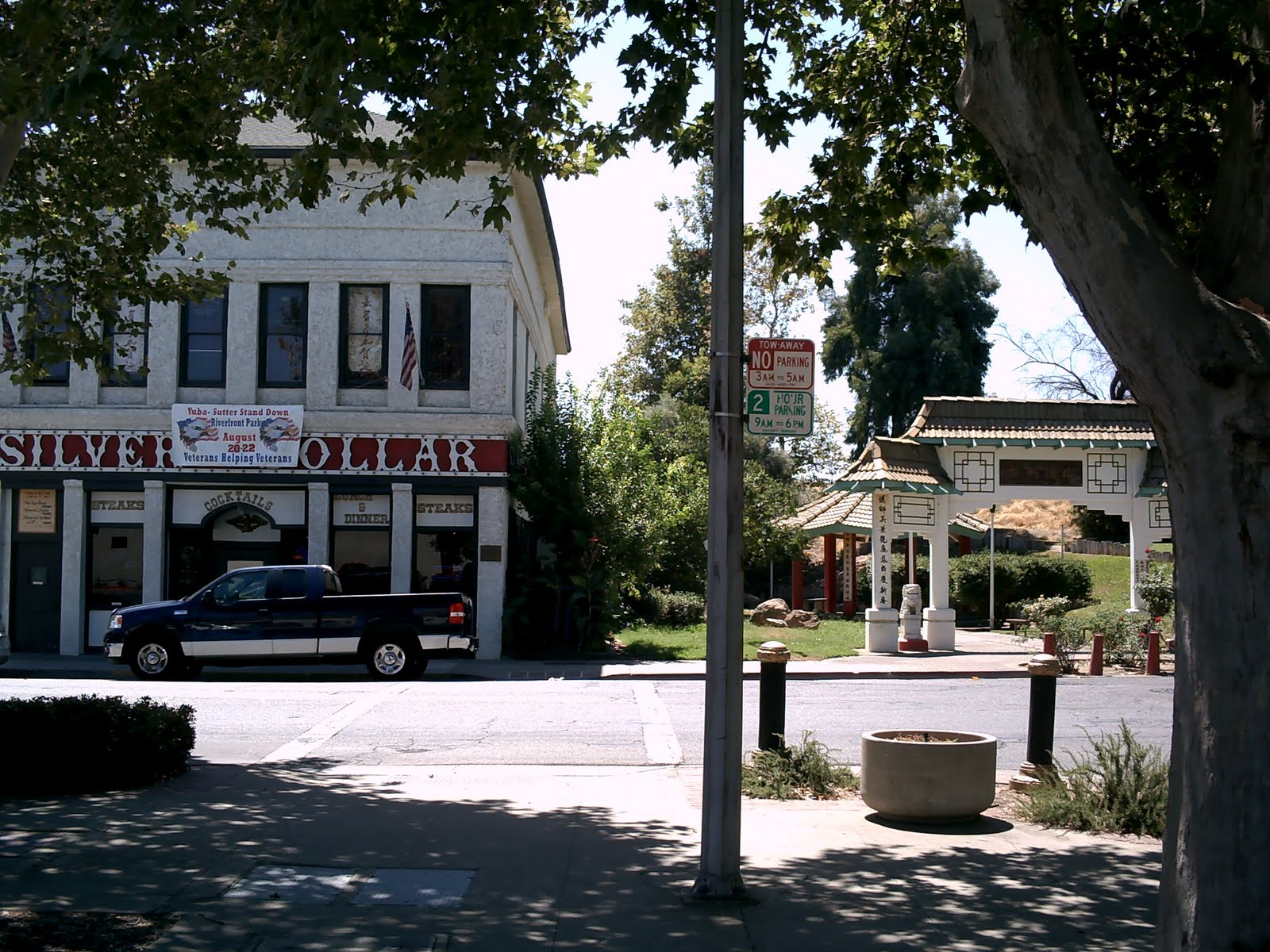
The M&M has now changed into the Silver Dollar Saloon, whose website boasts that its second floor used to be a brothel in the 1800s. (A couple of other websites say it remained in that capacity until the 1970s, and I have reason to suspect it remains so in the 2000s, but that’s a story for another day.) The bridge entry is now the aforementioned Bok Kai pavilion and park.

On the west side of D Street was the W.J. Brown Furniture Store, and just visible behind is the intersection that took drivers to and from the more industrialized E Street a block to the west.
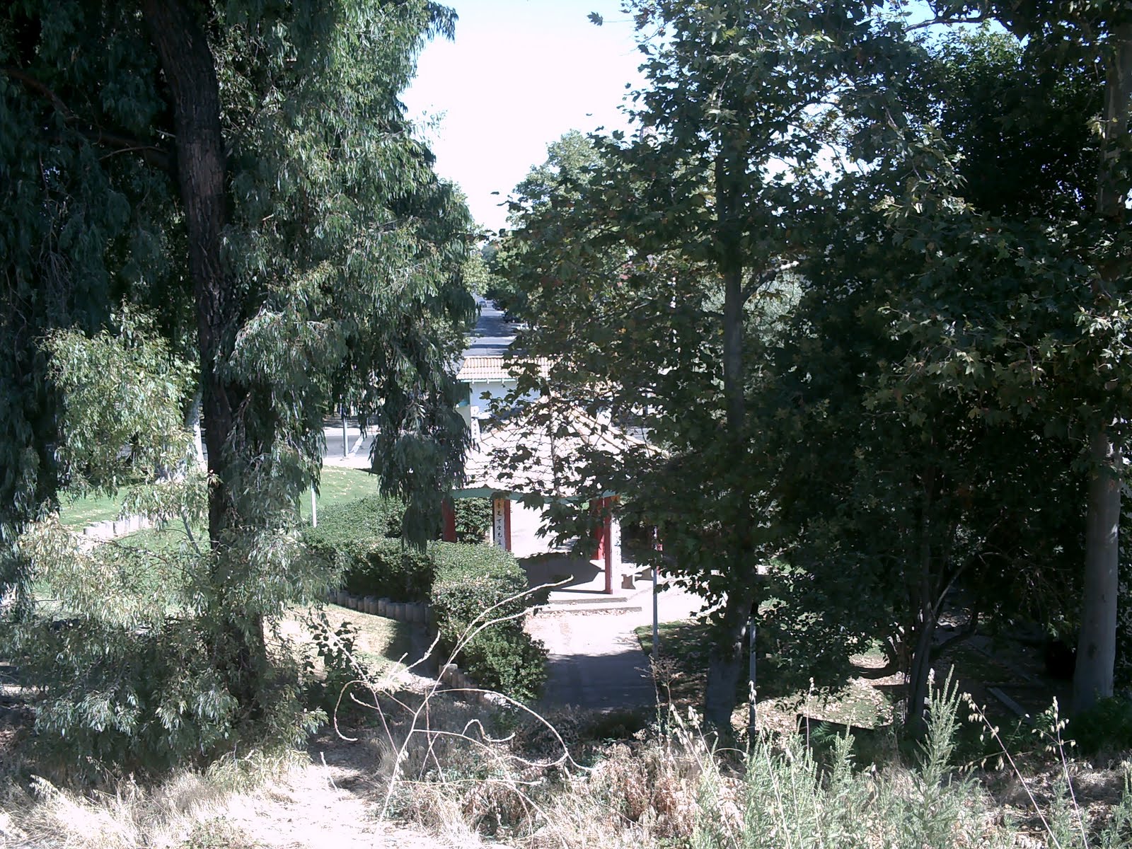
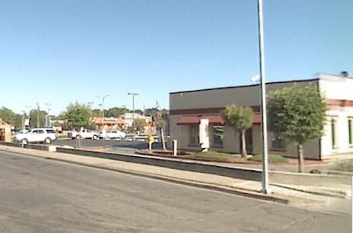
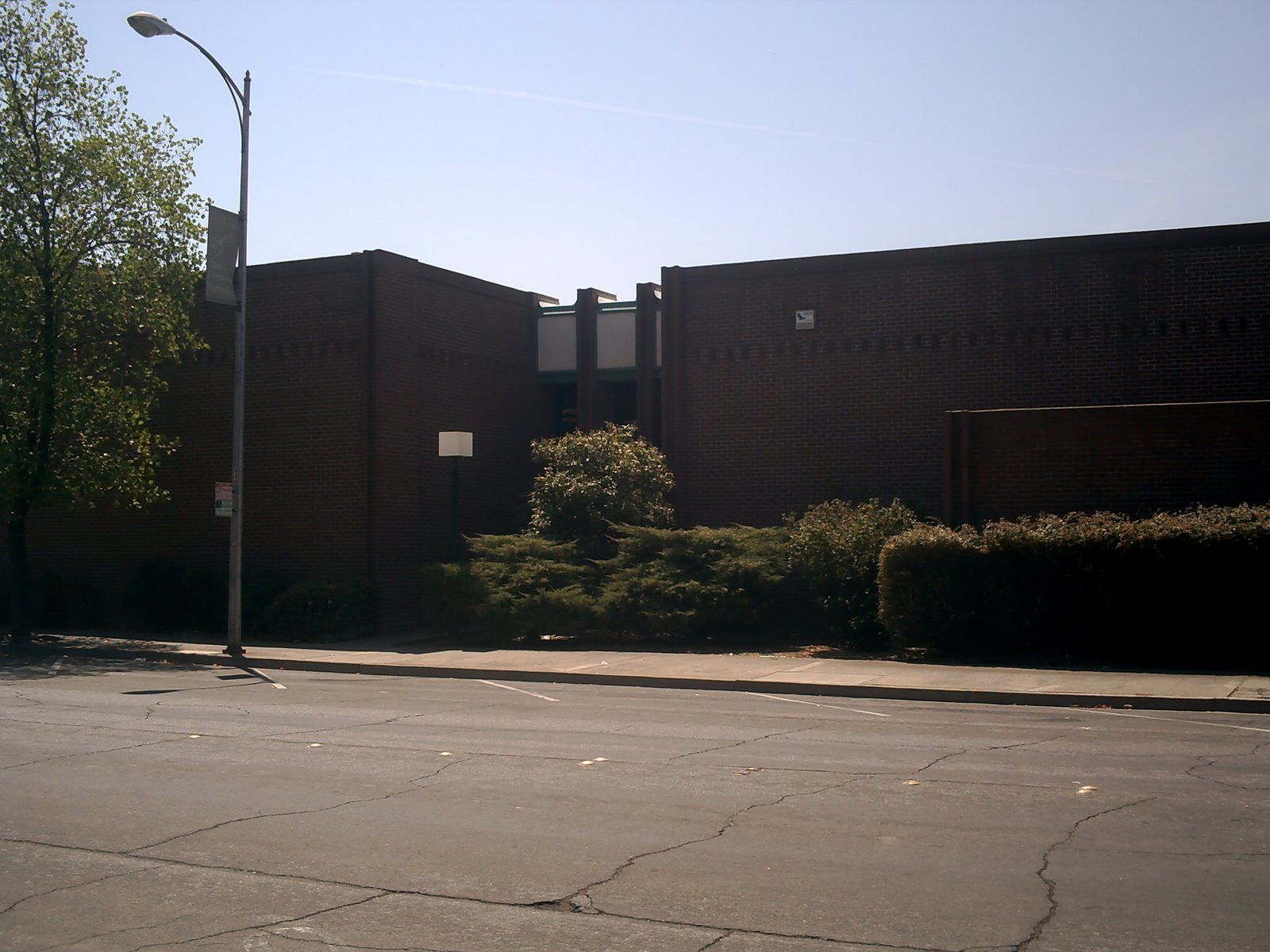
This area is now a continuation of the Bok Kai park, and is usually pristine and peaceful, even though it’s just a few steps away from the very busy E Street bridge/freeway combo. Occasionally, some of Marysville’s more “colorful” characters, or transients passing through, will be spotted lounging under the shade trees here, but they usually move on quickly, leaving the place once again to the birds and squirrels.

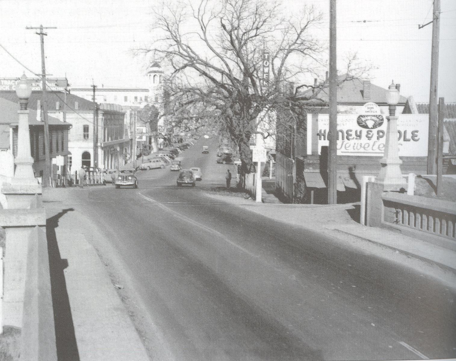
The view from the bridge as you came into town.
The view is now obliterated by foliage and the Bok Kai pavilion. Not that there’s much to see anymore, anyway.
Another view from the bridge.

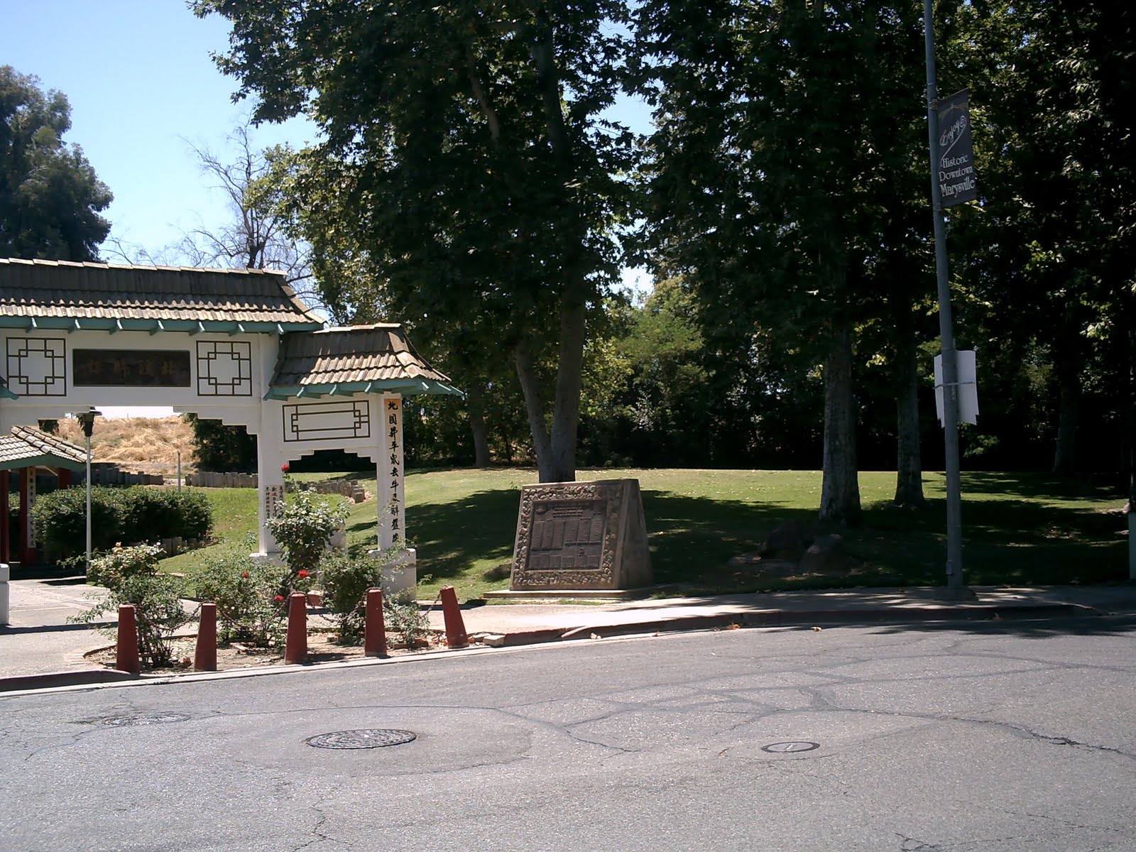
And another view of the trees that replaced it. Where Studebakers and Hudson Hornets once rolled into town, lizards now scamper in the underbrush, and a set of cement steps leads you to the Bok Kai temple gate, and beyond them, a set of rickety wooden steps leads you still further to the top of the levee. If you turn around from where I’m standing to take the above picture…
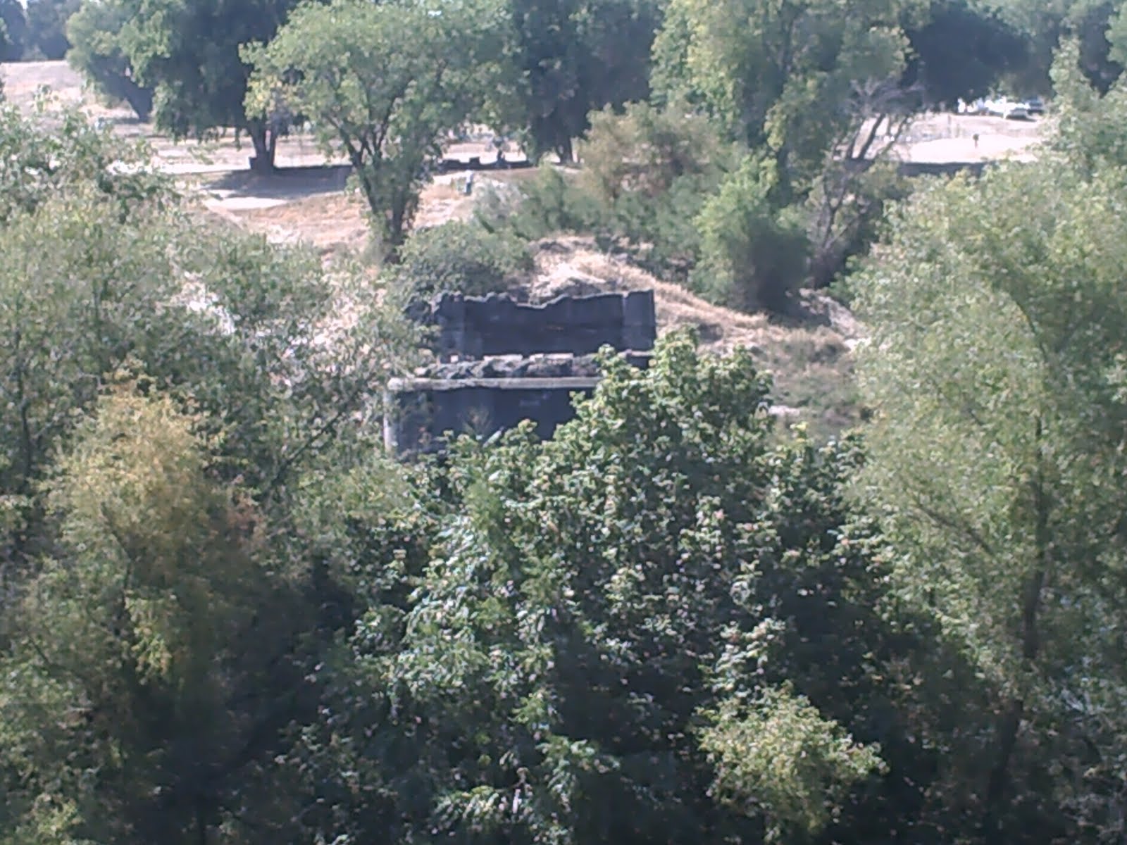
…you can see the remains of the D Street bridge supports still jutting from the Yuba River like a pair of rotting teeth.
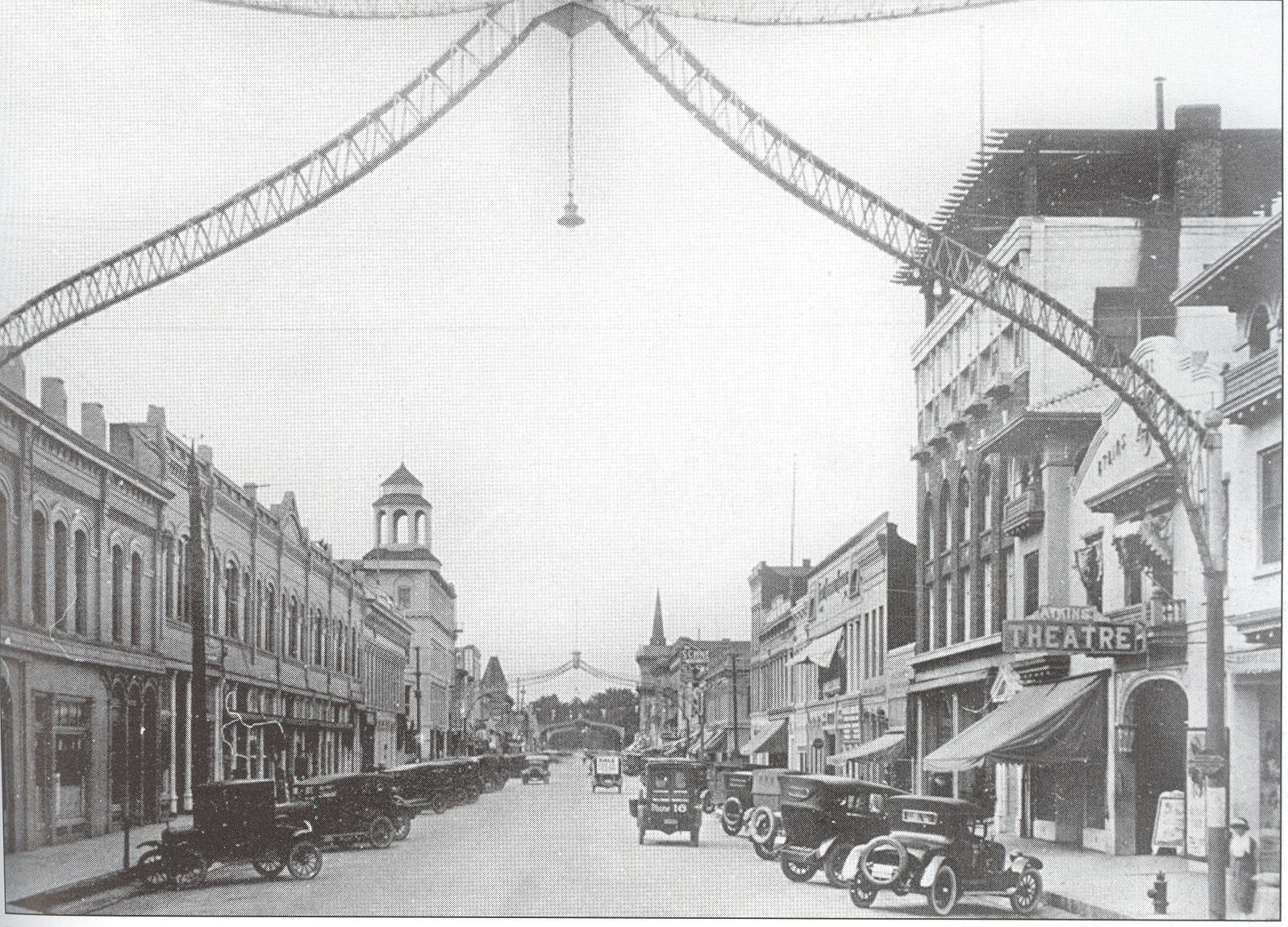
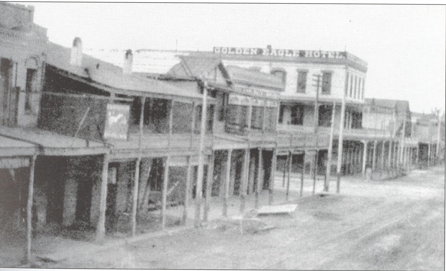
D St. 1920s
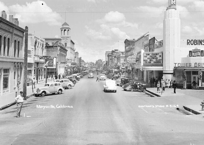
1940s
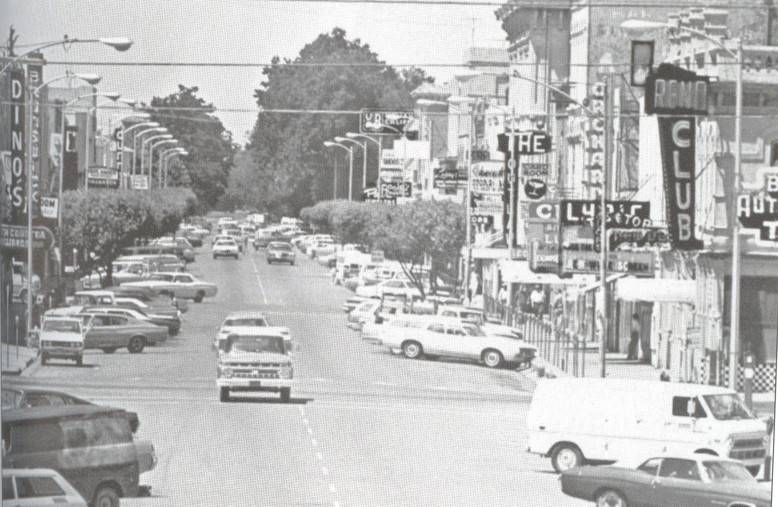
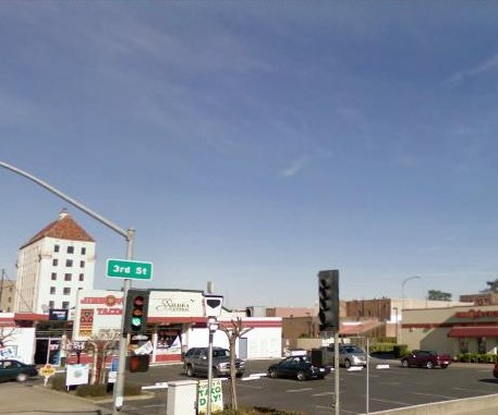
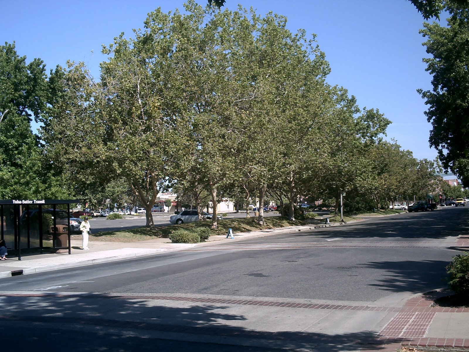
By 1977, it was decided that D Street from 1st to 3rd Streets had become an eyesore, a flea-bitten collection of bars and flophouses, plus it had brought unwanted notoriety as a cruising ground for serial killer Juan Corona, so the whole two blocks had to go.
Much of it was replaced with a drab 70s-style strip mall called “Downtown Plaza” (hey, at least they had the name before Sacramento) on the east side of the street, and the Mervyn’s department store on the west side. Trees were planted, hobos and stewbums were (for the most part) rousted out, and everyone congratulated themselves on a job well done.
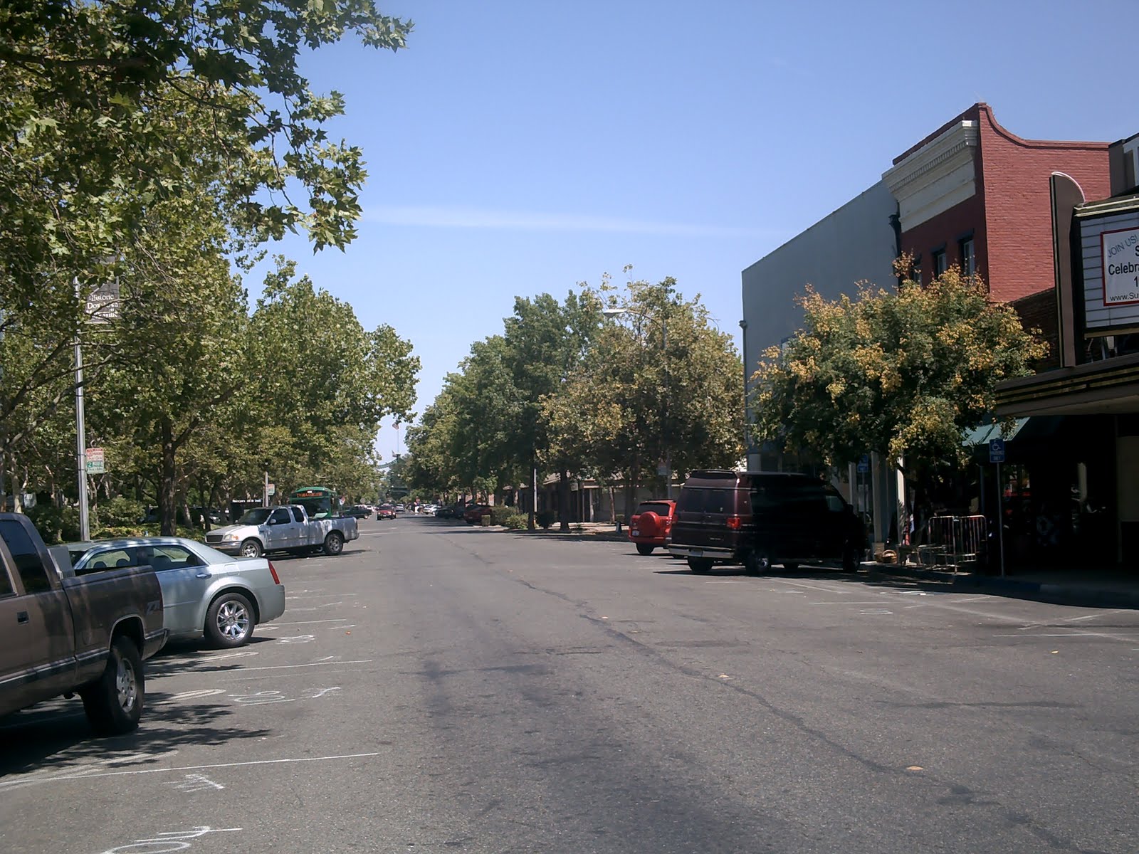
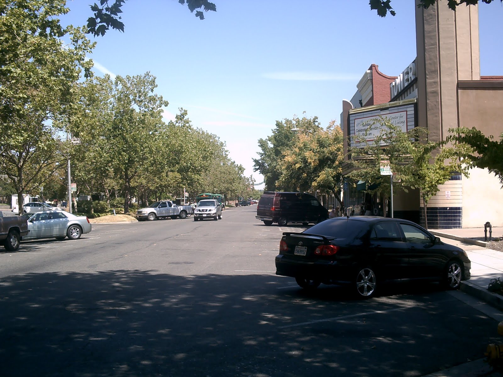
D Street between 1st and 3rd is now shadier (in the good sense), safer, cleaner – and pretty much abandoned. The Downtown Plaza sits half-unoccupied, and as we learned in the last entry, Mervyn’s sold its last bath towel in December 2008.

The tiny Lyric Theater once co-existed side-by-side with the Tower Theater. My dad got his tattoos somewhere around here in the 1950’s.

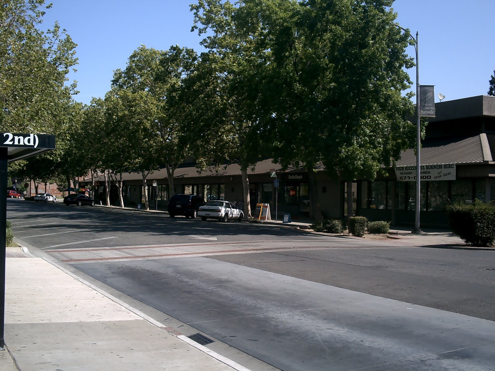
Unlike their replacement, the Downtown Plaza.
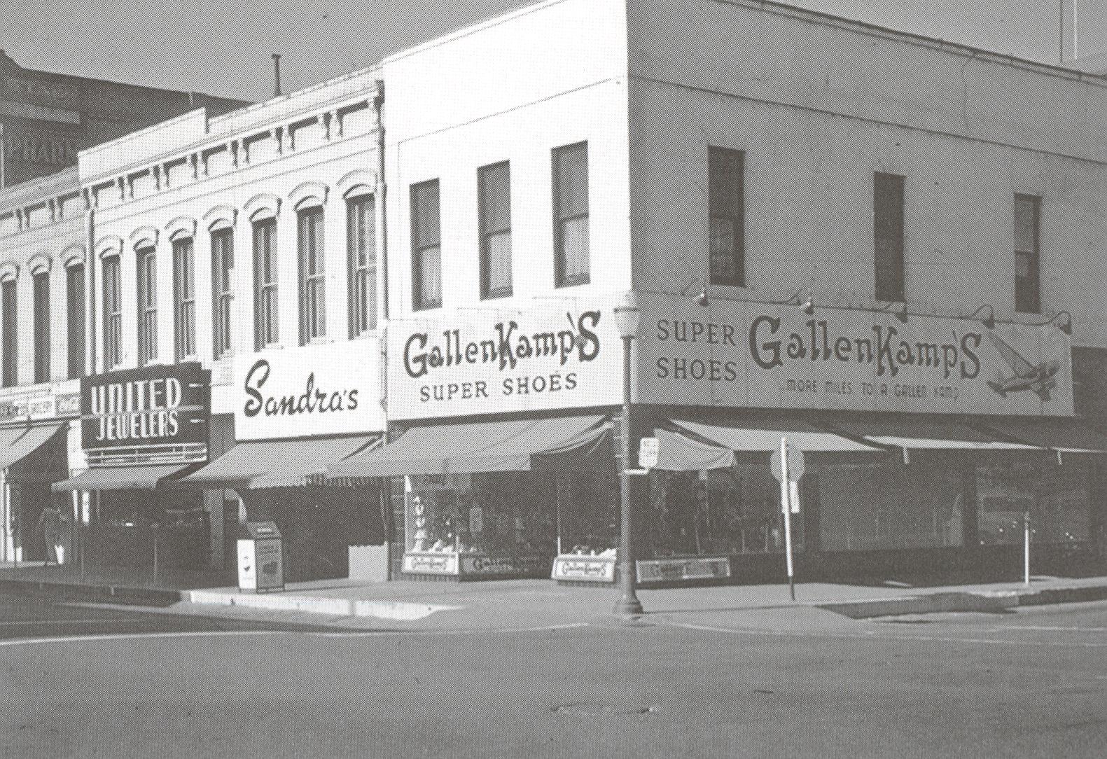
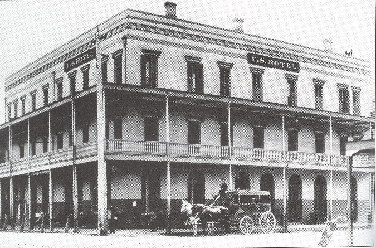
As the east side of D Street spiraled into debauchery, the west side clung to respectability, with businesses like Payless Drugs (not pictured, but after 1956 on the site of the Western Hotel), the Star Grill, Gallenkamp Shoes and United Jewelers still peddling their wares.
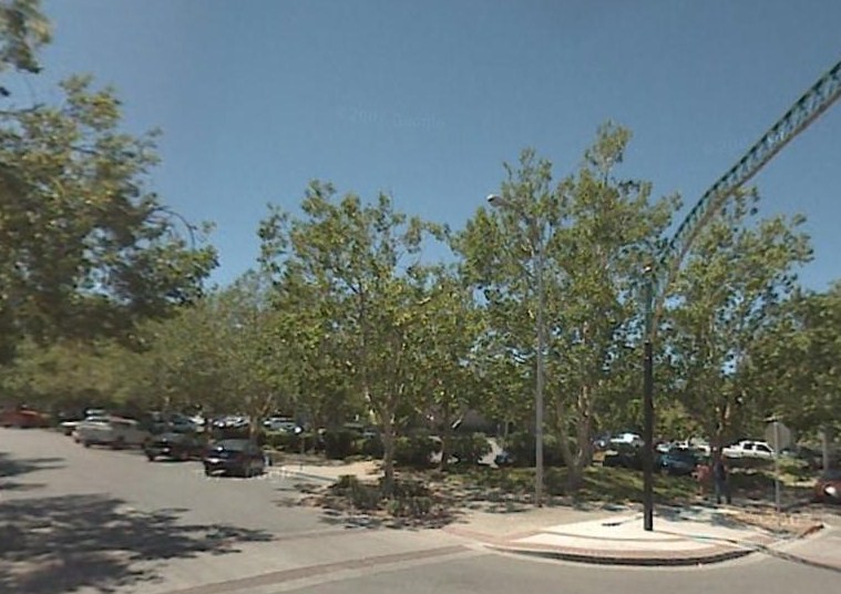
The Mervyn’s parking lot replaced them all.
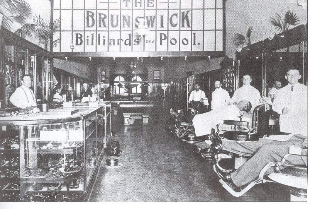
 What better place to hang out in the mid-20th century than the Brunswick Billiard Parlor? A swell fella could grab a shave and a haircut (complete with a splash of bay rum and some Wildroot Cream-Oil), buy a Hav-A-Tampa, and pat a dog on the head, then shoot some stick, all in the company of other swell fellas, and without a lot of yip-yap from the skirts.
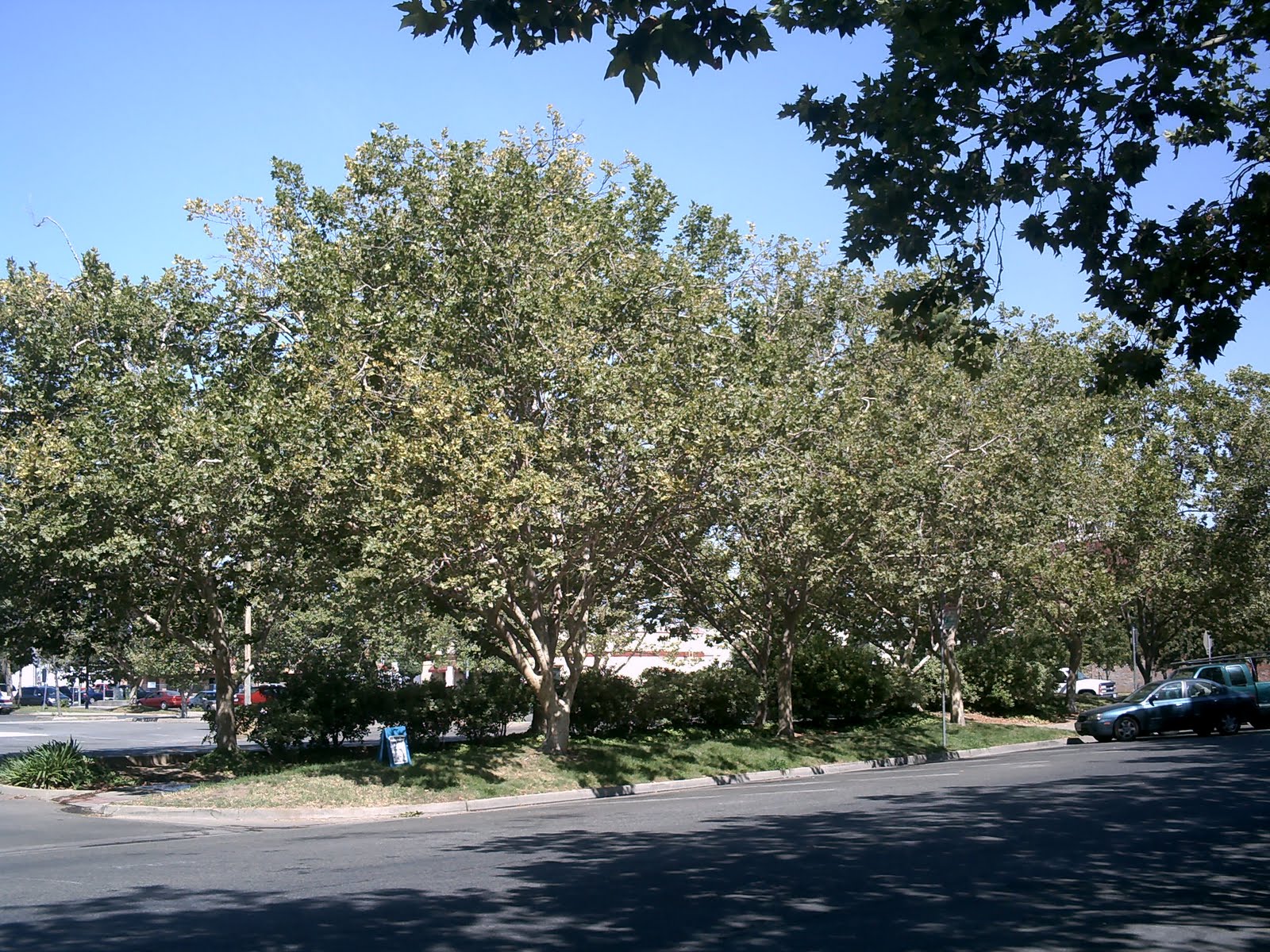
Well, I guess you can’t turn back the hands of time, and Mervyn’s needed a parking lot more than an average joe like me needed a place to hang out.
Oh, yes, I promised more fires.
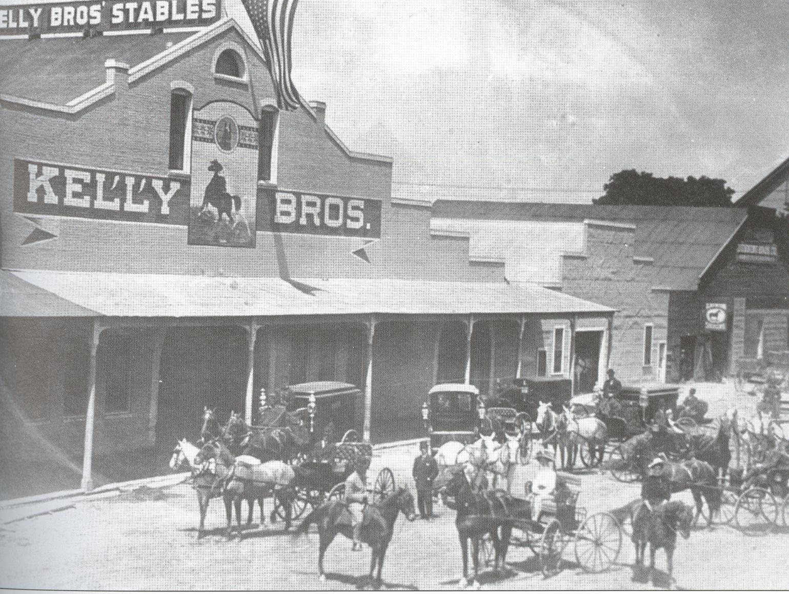
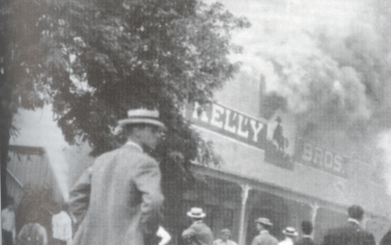
Remember the Kelly Brothers’ Stables? The brothers could console themselves after the 1915 fire that destroyed it with the fact that their very successful undertaking business was still going strong.
Kelly Brothers Mortuary was located on the first floor of the Elk’s Lodge building on D Street.
Which burned down in the 1926 (taking the Atkins Theater with it.) I don’t really know what became of the Kelly Brothers after that. The site became a much smaller storefront business (left) and the entrance to the Tower Theater.
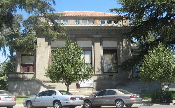
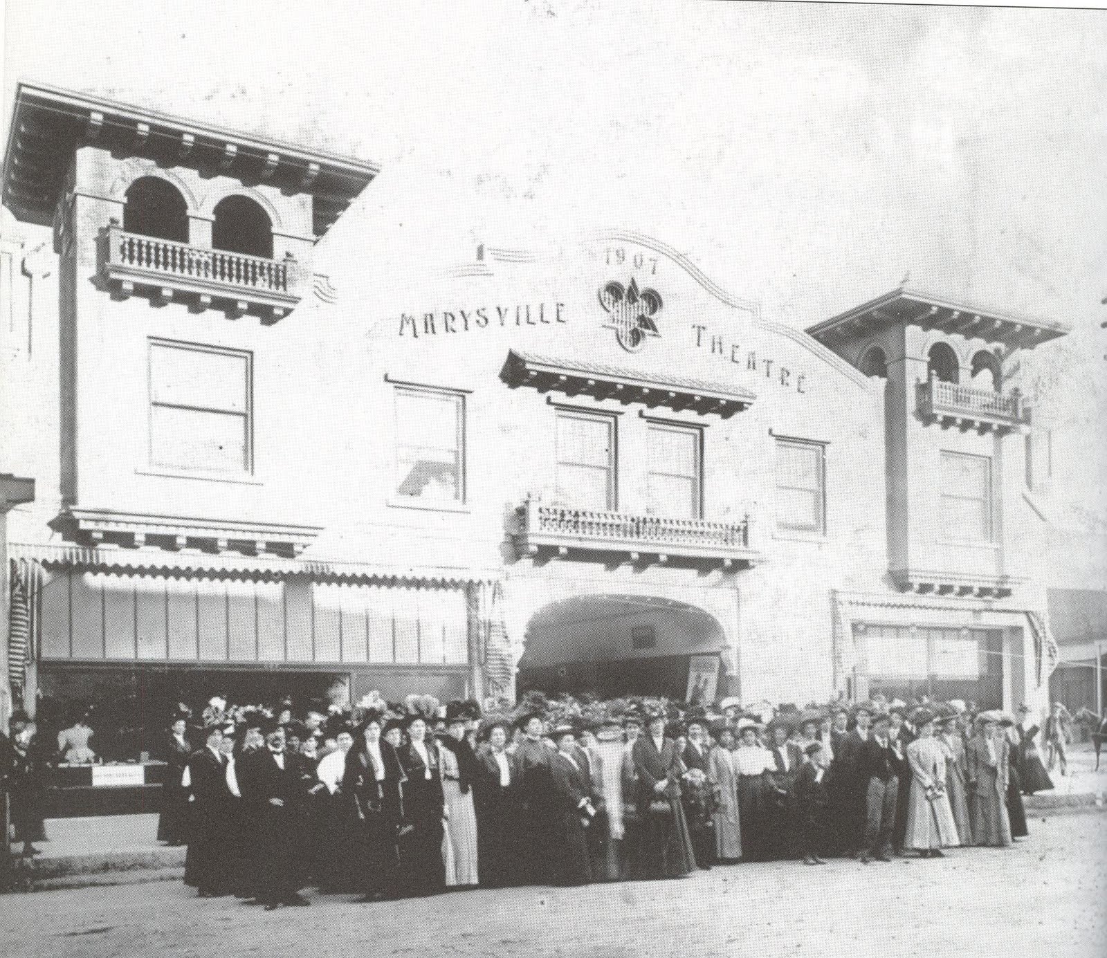 The northeast corner of 1st and D seems to have been a theater site since the turn of the century. The Marysville Theater was first to occupy the area, built in 1907, and the site of many live stage performances.
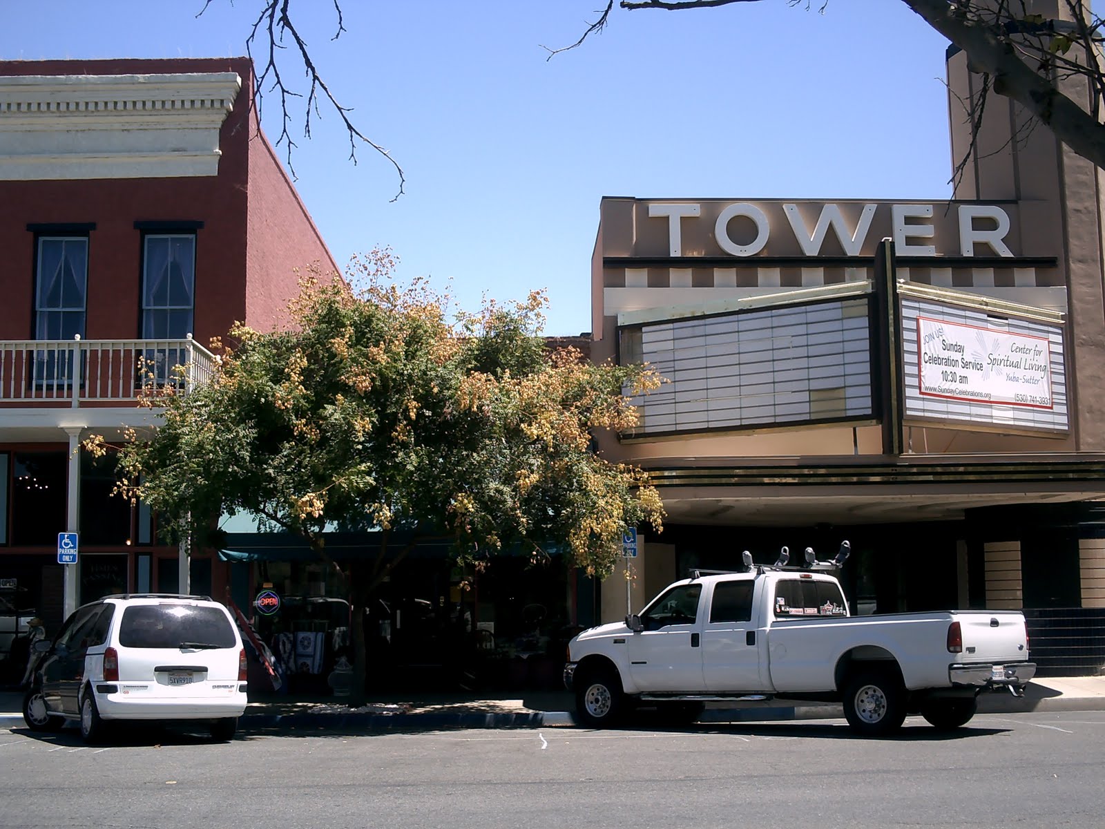
The corner lot itself is now parking for the Tower Theater (see below).
Around the time it switched from live performances to a cinema screen in the early 1920s, the Marysville Theater changed its name to the Atkins Theater
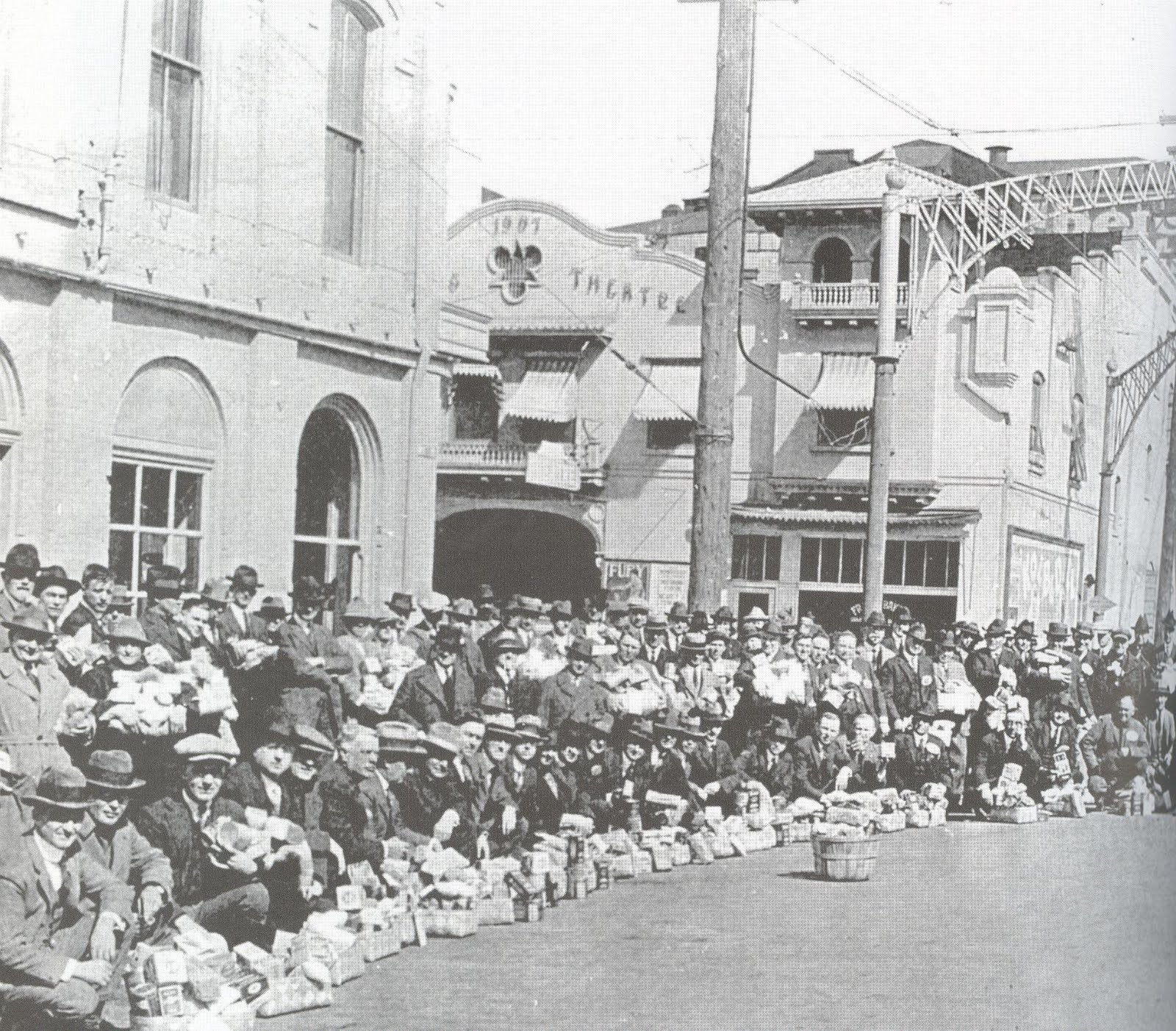
The Atkins Theater is visible in the background of this picture of 1st and D on Rotary Day, when local business donated goods to charity.
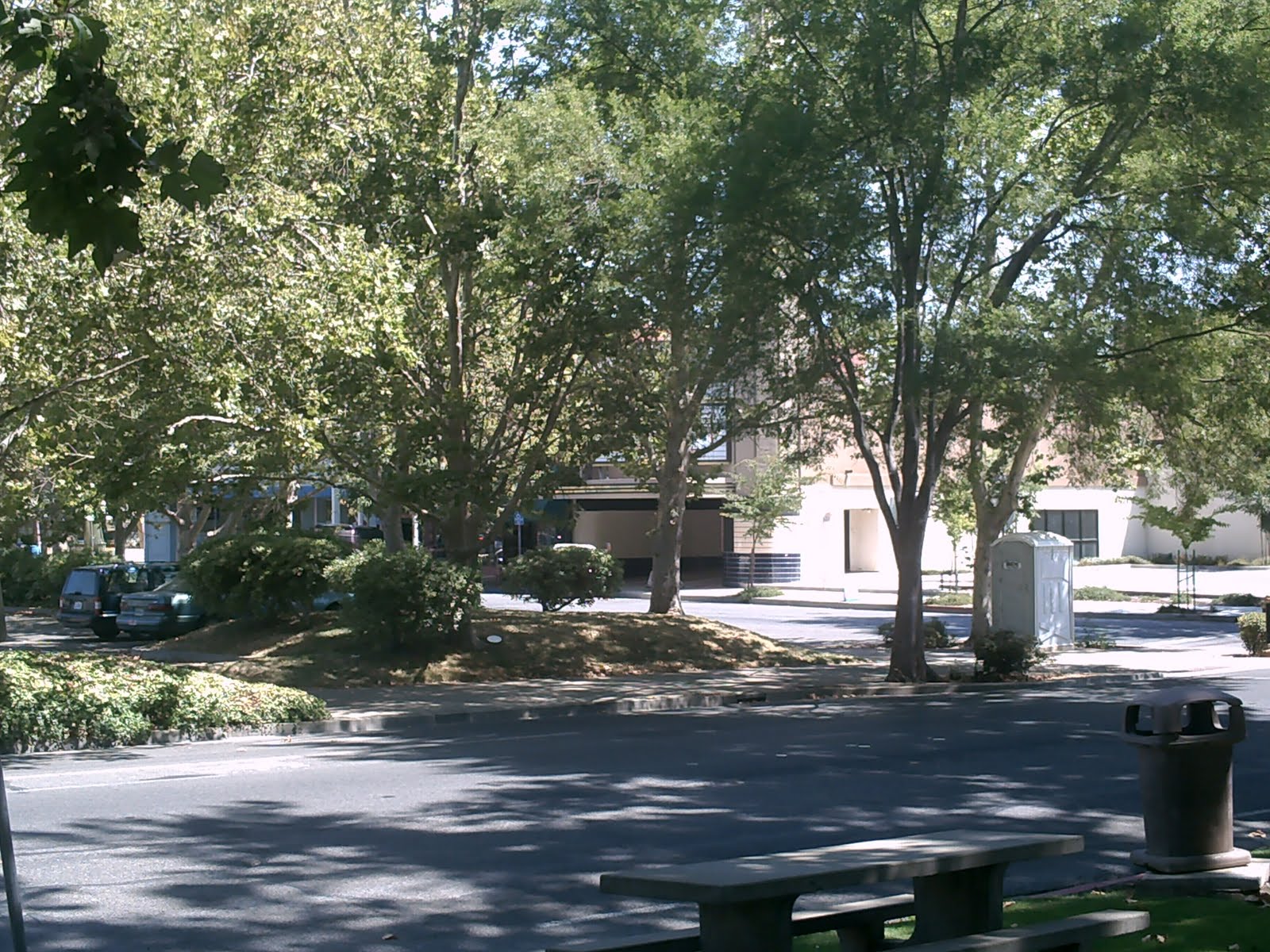
The same corner as it appears today.
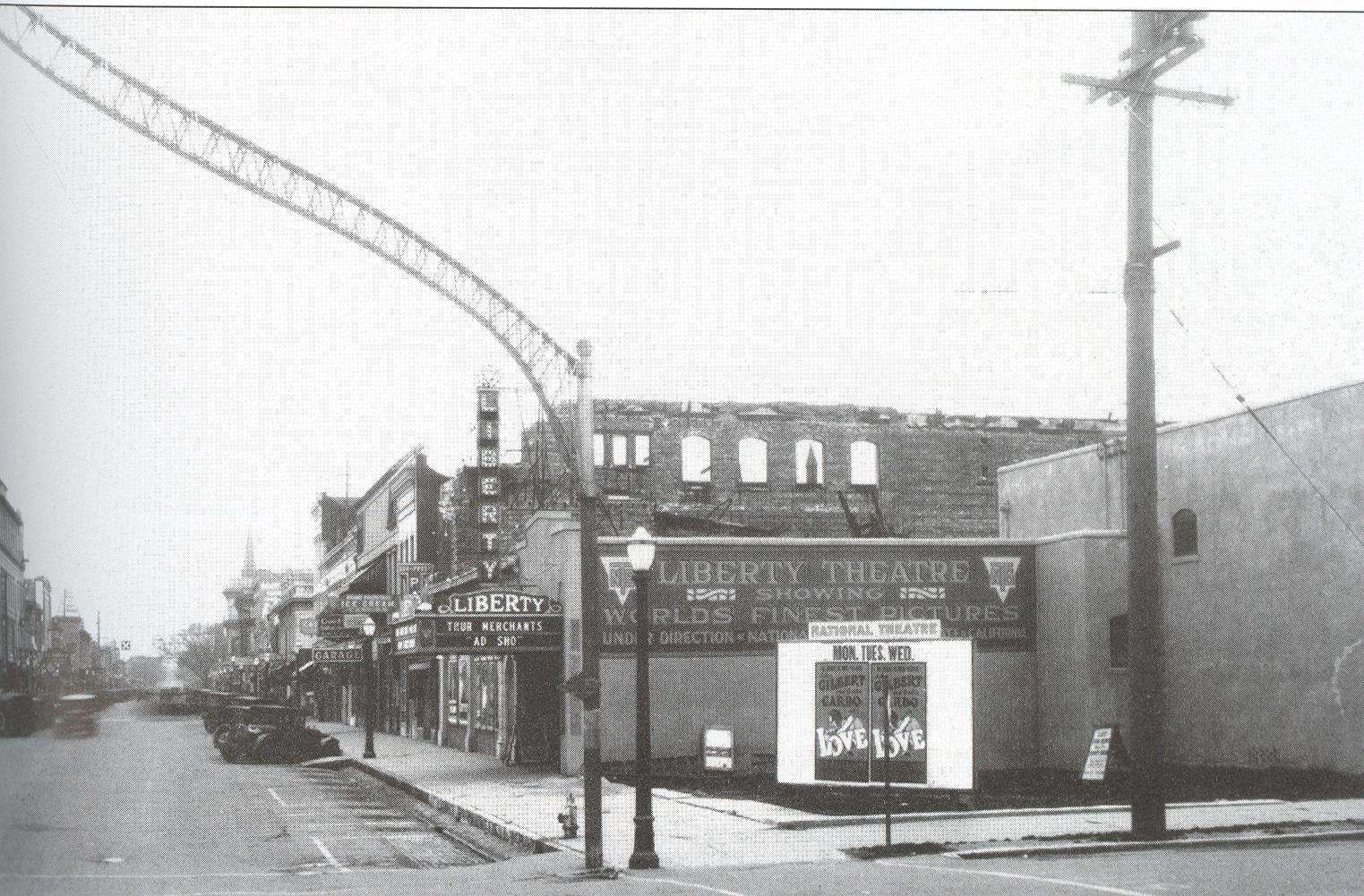
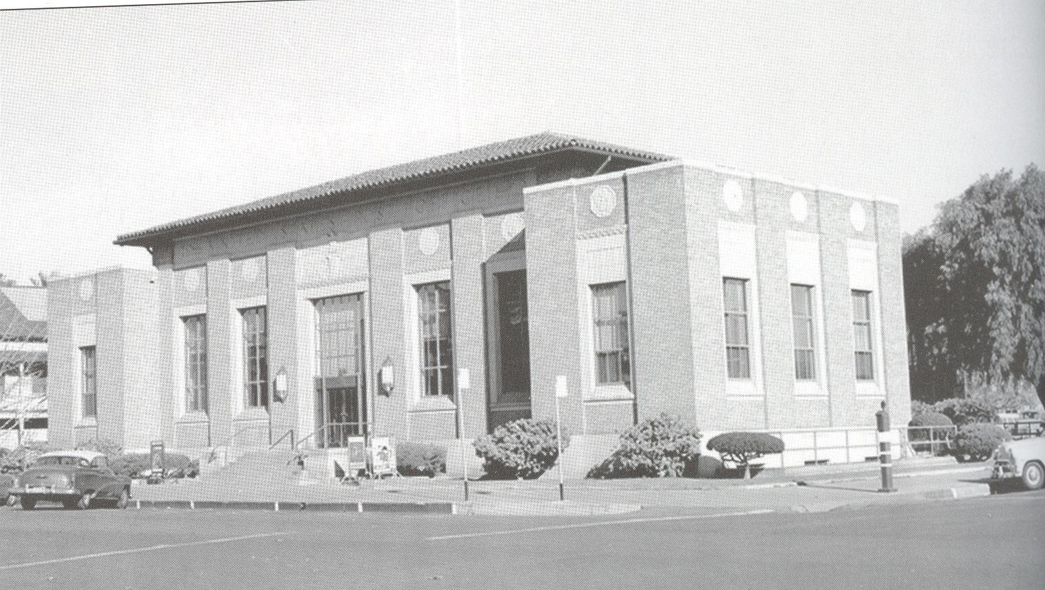
The Atkins Theater burned down along with the adjacent Elks Lodge building in 1926. It was replaced by the Liberty Theater shown here (the burnt-out frame of the Elks building is still visible in the background.)
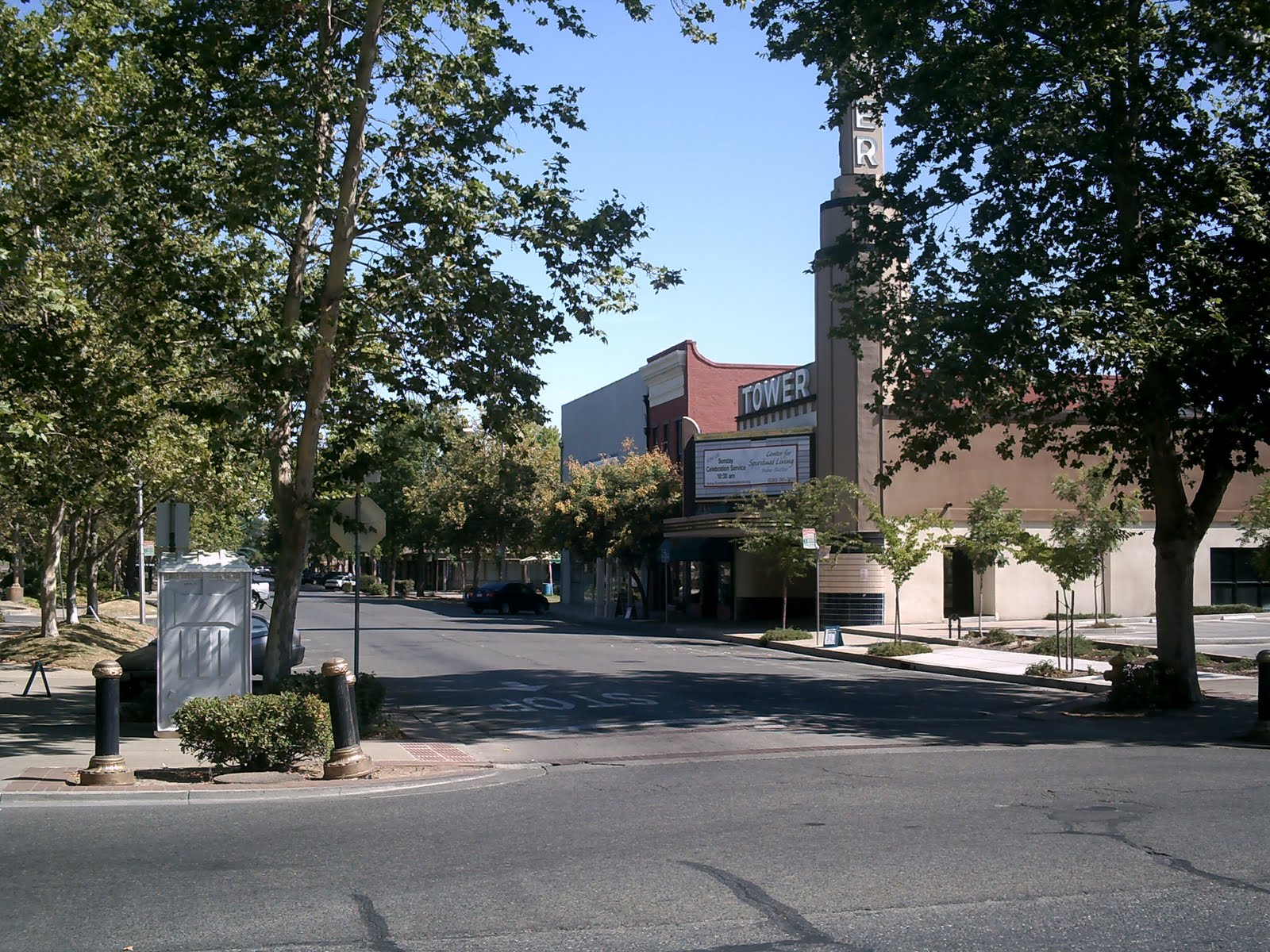
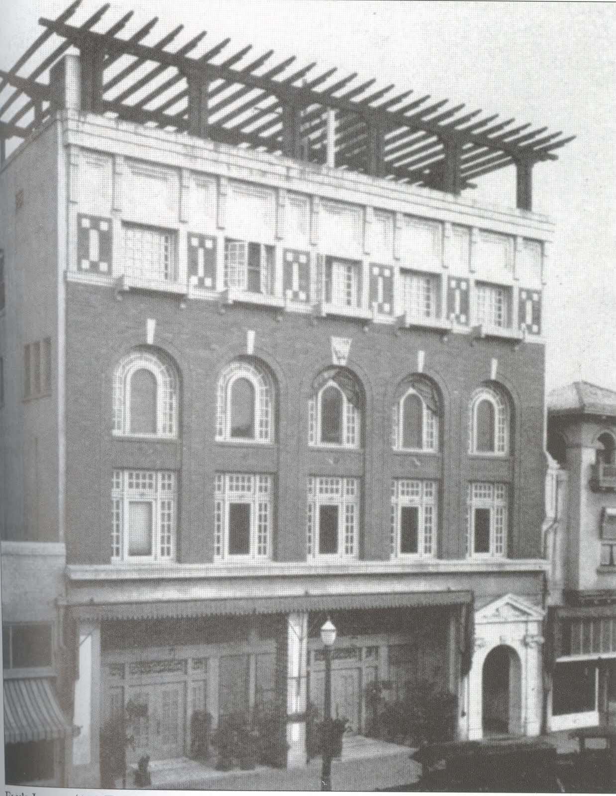
The hastily-built Liberty was replaced with the much bigger Tower by the late 1930s. The L-shaped Tower has its entrance near the old Elks building site, but curves around and to the back, encircling the small area where the Atkins/Liberty stood.
The Tower Theater is, of course, no longer a movie theater, and hasn’t been for some time. But everyone’s a sucker for Art Deco, so the building was allowed to remain when the rest of lower D Street was wiped out. For a short while in the late 90s it hosted live music events (I went to a few). Now, somewhat restored and remodeled, it’s the headquarters for the Marysville chapter of the New Age-y Center for Spiritual Living, and private office space. Moving on to the other Marysville Theater…

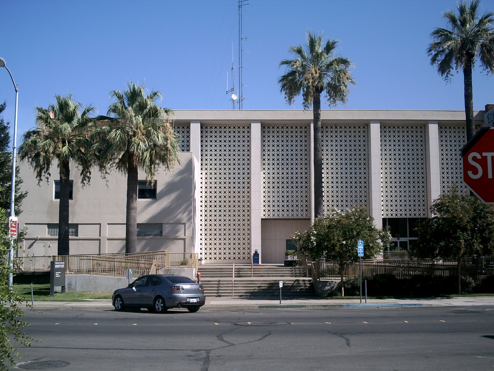
The State Theater opened as the National Theater in 1927 on E Street, across 5th from the Marysville Hotel, which opened at the same time. Its name went from “National” to “State” in 1938.
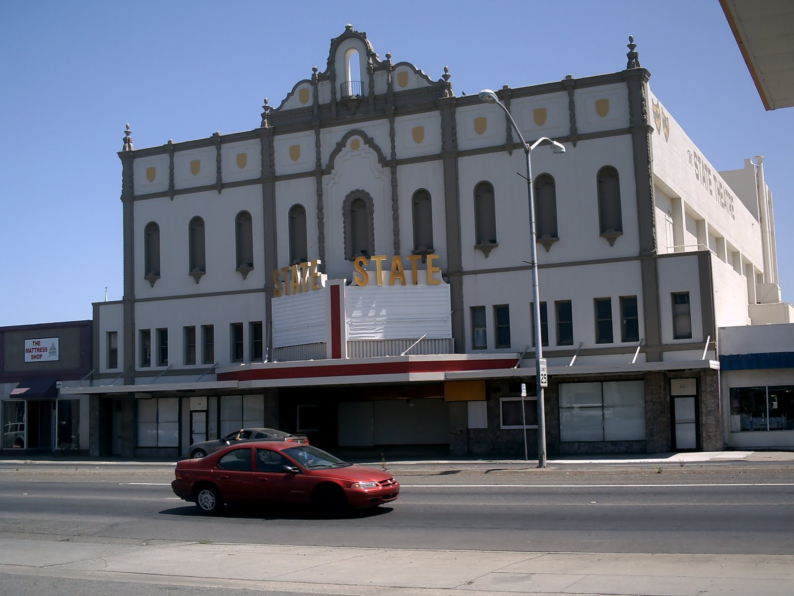
The State as it appears today, fifteen years after it showed its last movies in 1996.(The John Travolta vehicle Phenomenon, and the kids’ adventure flick Alaska, if you’re interested. The posters, which I put up, remained in their cases until 2003 or so, fading to almost pure white.)
Yes, I was the State’s assistant manager for its final year of operation (December 1995 – November 1996), so you can expect to hear a few State stories in This Used To Be My Playground. I like to claim credit for running the place into the ground, but it was clearly dying without my help. For the final month or so, it was a discount theater, all seats a dollar. The company that ran the place came up with a hideous mascot (“Buck The Chick”), and one of my final tasks as a State Theater employee was to put up those posters and marquee letters reading “Buck The Chick Says CHEAP CHEAP!” The axe deservedly fell a few days after that, before they got a chance to put someone in the baby-chick costume and have them prance around on the street corner.
The State’s new owners (a couple of shady Hungarians) are currently embroiled in the usual finger-pointing battle with the obstructionist Marysville City Council over taxes and fees and grandfather clauses. If it re-opens in any capacity within the next decade, you can knock me over with a feather from Buck The Chick.
There has been some confusion as to whether the State ever suffered a serious fire at any point in its history. Many are convinced it did, but my research has only turned up records of the Atkins theater fire, a few blocks away. The people & websites that say the State burned all date the fire to 1926 – when the Atkins burned. I think people are a little confused, compounded by the fact that late 1926 was when construction on the State began.
I’ll try to bring this whole thing to a conclusion in the next entry, and get back to the 90s playlist (which now seems to be stretching into next summer, thanks to my apathy and ability to become distrac…hey, Robot Chicken is on! Later.)


